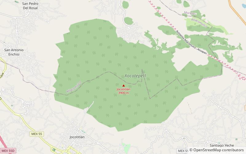
Jocotitlán Volcano
Map

Map

Facts and practical information
Jocotitlán, also known as Xocotépetl, is a volcano in the Jocotitlán and Atlacomulco municipalities, in the State of Mexico. At 3,910 metres above sea level, its summit is the 12th highest peak of Mexico. ()
Local name: Xocotépetl Last eruption: 1180Elevation: 12828 ftProminence: 3937 ftCoordinates: 19°44'30"N, 99°45'37"W
Location
México
ContactAdd
Social media
Add
