El Centinela
Map

Map

Facts and practical information
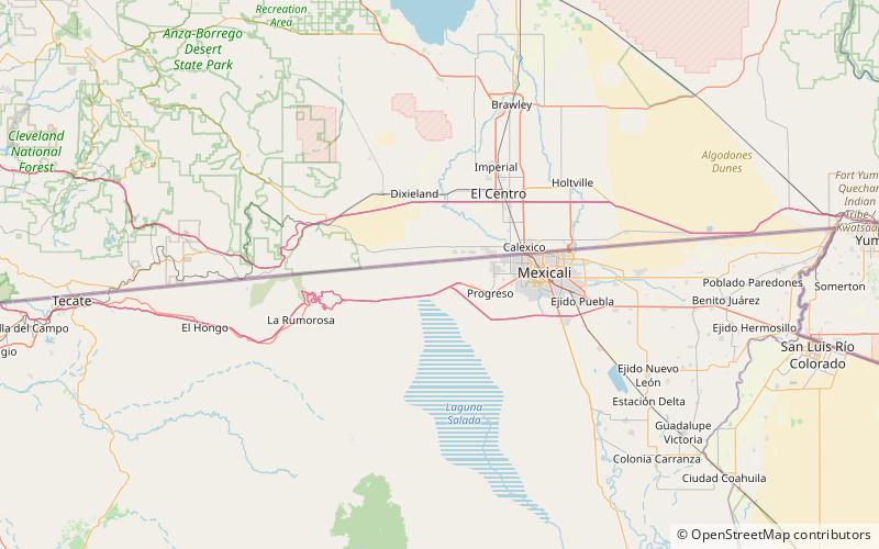
Mount Signal is a mountain 20 km west of Mexicali, Baja California, Mexico, on Mexican Federal Highway 2. The peak is also known as "Weeishpa" by the native community Kumiai or "Cerro del Centinela" or simply: El Centinela by the Mexicans. The northern slope of the mountain begins at the border between Mexico and the United States, the south side is bordered by Federal Highway 2. It has an elevation of about 781 meter and is the northernmost peak of the Cocopah mountain range or sierra cucapá. ()
Location
Baja California
ContactAdd
Social media
Add
