Avenida Lázaro Cárdenas, Monterrey

Facts and practical information
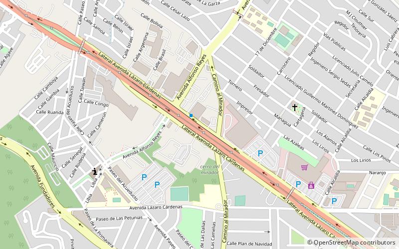
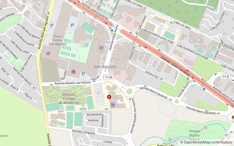
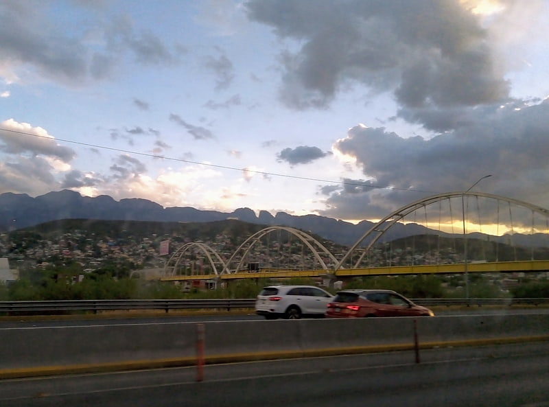
Avenida Lázaro Cárdenas (address: Av. Lázaro Cárdenas 2611) is a place located in Monterrey (Nuevo León state) and belongs to the category of bridge.
It is situated at an altitude of 1909 feet, and its geographical coordinates are 25°37'51"N latitude and 100°18'0"W longitude.
Planning a visit to this place, one can easily and conveniently get there by public transportation. Avenida Lázaro Cárdenas is a short distance from the following public transport stations: Avenida Eugenio Garza Sada X Eugenio Garza Sada (bus, 29 min walk).
Among other places and attractions worth visiting in the area are: Library (library, 38 min walk), Monterrey Institute of Technology and Higher Education (universities and schools, 40 min walk), Casa Tec (universities and schools, 41 min walk).
Av. Lázaro Cárdenas 2611Sur (15 de Septiembre)Monterrey
- Bus
 Bus
Bus
- Calculate routeAvenida Eugenio Garza Sada X Eugenio Garza Sada 29 min walk
- Calculate routeEugenio Garza Sada 30 min walk
- Calculate routeNapoles X Eugenio Garza Sada 32 min walk
Avenida Lázaro Cárdenas – popular in the area (distance from the attraction)
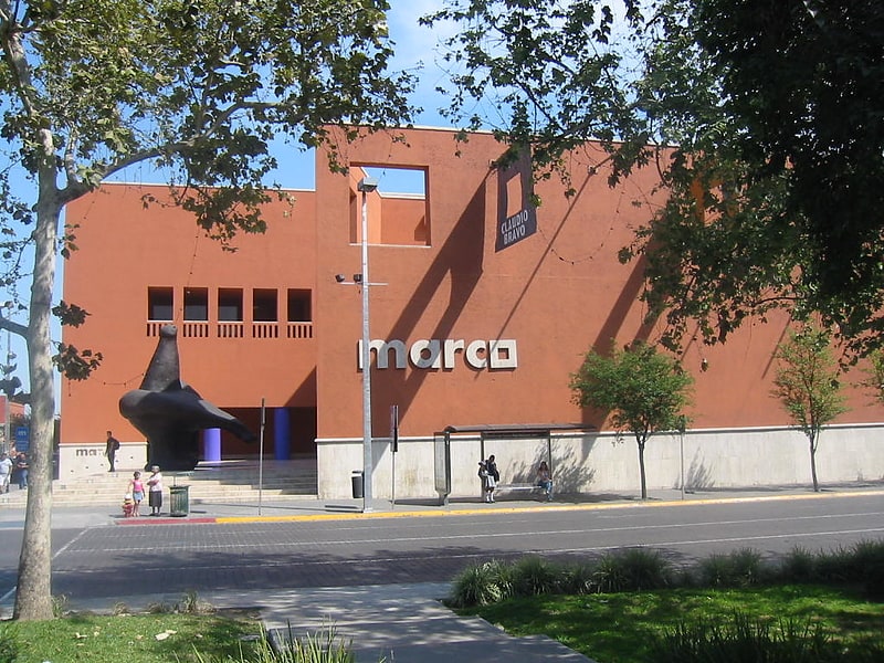
Nearby attractions include: Museo de Arte Contemporáneo de Monterrey, Metropolitan Cathedral of Our Lady of Monterrey, Faro del Comercio, Basilica of Guadalupe.


Frequently Asked Questions (FAQ)
How to get to Avenida Lázaro Cárdenas by public transport?
Bus
- Avenida Eugenio Garza Sada X Eugenio Garza Sada • Lines: R405 (29 min walk)
- Eugenio Garza Sada • Lines: R209, R405, R5 (30 min walk)