Sierra de Tepoztlan

Gallery (2)
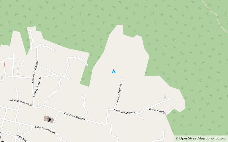
Map
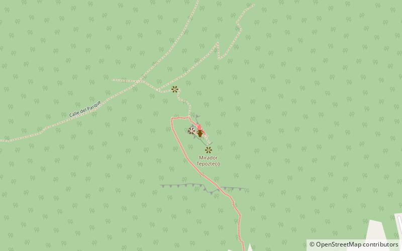
Map
Gallery
Facts and practical information
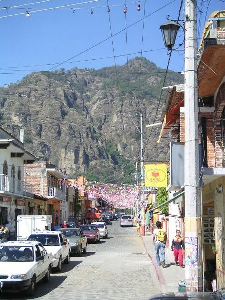
Sierra de Tepoztlan or Tepozteco Mountain is located near the village of Tepoztlán, a Pueblo Mágico, in Morelos, Mexico. The mountain range, "vulnerable to landslides, erosions, and flooding", contains only small areas of land which are appropriate for cultivation. It contains the ruins of a small, pre-Hispanic, Ometochtli temple, known as El Tepozteco. It is believed that there were a number of settlements at one time at the mountain base. ()
Coordinates: 19°0'3"N, 99°6'4"W
Location
Morelos
ContactAdd
Social media
Add
Day trips