Punta el Sombrerito
Map
Facts and practical information
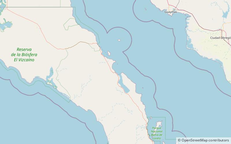
Punta el Sombrerito, also known as Punta Sombrero, is a small hill overlooks the entrance to the Estero de Mulege and anchorage of the town of Mulege. It was described in 1851, as shaped like a hat or a pyramid on a round base like a fort. The hill now has a lighthouse at its apex marking the entrance to the anchorage. ()
Coordinates: 26°54'5"N, 111°57'11"W
Location
Baja California Sur
ContactAdd
Social media
Add
Day trips
Punta el Sombrerito – popular in the area (distance from the attraction)
Nearby attractions include: Mulegé.
