Cerro Prieto
Map

Map

Facts and practical information
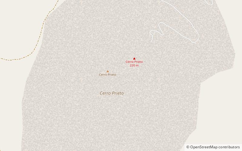
Cerro Prieto is a volcano located approximately 29 km SSE of Mexicali in the Mexican state of Baja California. The volcano lies astride a spreading center associated with the East Pacific Rise. This spreading center is also responsible for a large geothermal field which has been harnessed to generate electric power by the Cerro Prieto Geothermal Power Station. ()
Location
Baja California
ContactAdd
Social media
Add
