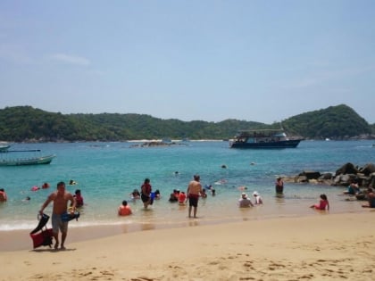
La Crucecita
Map

Map

Facts and practical information
La Crucecita, along with Tangolunda and Santa Cruz comprise the resort area known as Huatulco, in the Mexican state of Oaxaca. It is the community closest to the bays but it is only 4 km from Federal Highway 200. It has grown along with the development of tourism in the area. The community is within the Santa María Huatulco municipality, which is part of the Pochutla District in the Costa Region of Oaxaca. ()
Coordinates: 15°45'57"N, 96°8'18"W
Location
Oaxaca
ContactAdd
Social media
Add
Day trips
La Crucecita – popular in the area (distance from the attraction)
Nearby attractions include: Playa La Entrega.

