Pabellón de Arteaga
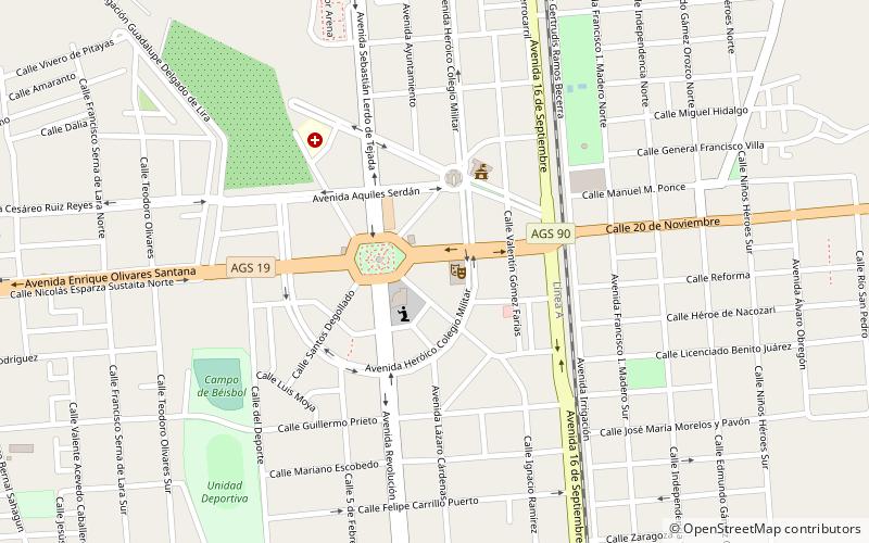
Map

Map

Facts and practical information
Pabellón de Arteaga is a city in the Mexican state of Aguascalientes. It stands at 22°09′N 102°16′W in the central part of the state. The city serves as the municipal seat of the municipality of Pabellón de Arteaga. As of 2010, the city had a total population of 28,633, up from 26,797 in 2005. It is the third-largest city in the state behind Aguascalientes and Jesús María. ()
Location
Aguascalientes
ContactAdd
Social media
Add
Day trips
Pabellón de Arteaga – popular in the area (distance from the attraction)
Nearby attractions include: San Francisco de los Romo.

