Isla Islitas, Bahía de Loreto National Park

Map
Facts and practical information
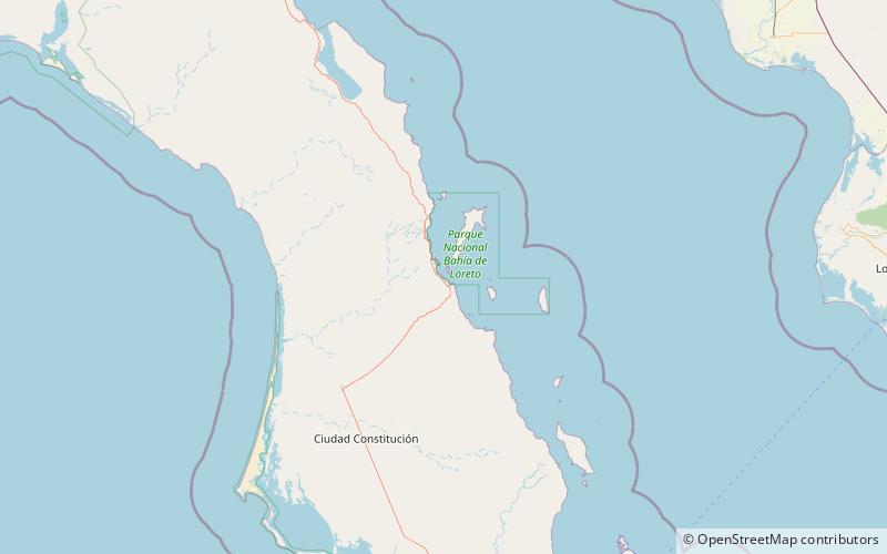
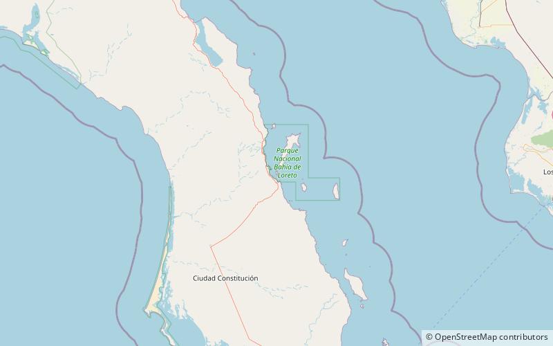
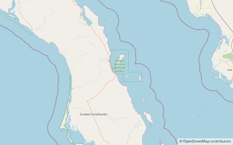
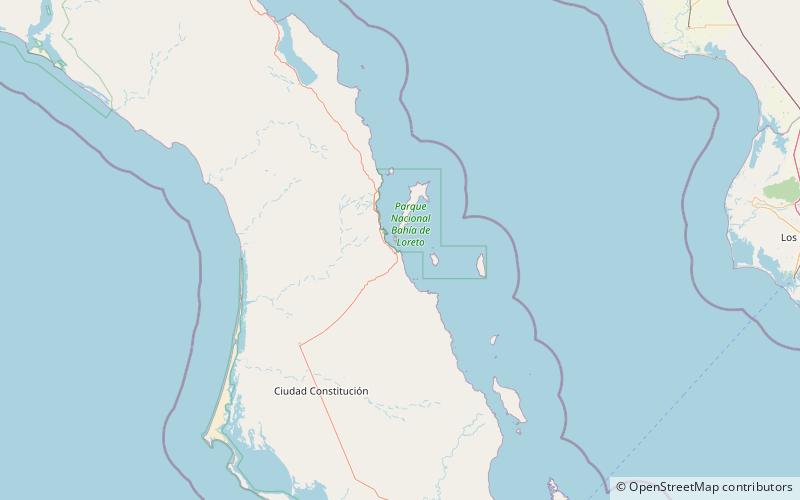
Isla Islitas, is an island in the Gulf of California east of the Baja California Peninsula. The island is uninhabited and is part of the Loreto Municipality. ()
Coordinates: 25°45'26"N, 111°16'29"W
Address
Bahía de Loreto National Park
ContactAdd
Social media
Add
Day trips
Isla Islitas – popular in the area (distance from the attraction)
Nearby attractions include: Isla Danzante, Isla Tijeras, Isla Pardo.


