Tepeticpac, Tlaxcala City
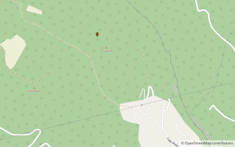
Map
Facts and practical information
Tepeticpac was one of the four altepetl that made up the confederation of Tlaxcala in pre-Columbian Mexico. It was the northwest-most altepetl, located west of the Atzompa river and north of Quiahuiztlan. ()
Coordinates: 19°20'46"N, 98°14'2"W
Address
Tlaxcala City
ContactAdd
Social media
Add
Day trips