Huatabampo, Navojoa

Map
Facts and practical information
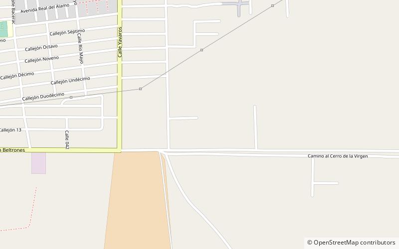
Huatabampo is a city in Huatabampo Municipality in the state of Sonora, in northwestern Mexico. It is situated on the Gulf of California, near the mouth of the Mayo River. It is located at latitude 26°49′N 109°40′W. Huatabampo is 34 km southwest of Navojoa via Sonora State Highway 56 and Sonora State Highway 149. Mexican Federal Highway 15 can be accessed via Sonora State Highway 176. It is notable as the home of revolutionary general Álvaro Obregón, a successful chickpea farmer before the Mexican Revolution, and now his burial site. ()
Address
Navojoa
ContactAdd
Social media
Add
Day trips
Huatabampo – popular in the area (distance from the attraction)
Nearby attractions include: Estadio Manuel "Ciclón" Echeverría.
