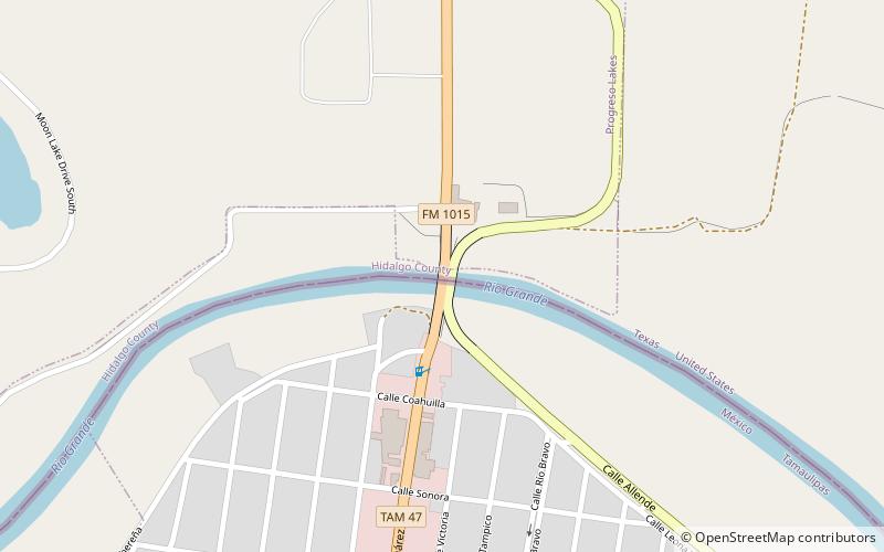
Progreso Texas Port of Entry, Nuevo Progreso
Map

Map

Facts and practical information
The Progreso Port of Entry was opened in July, 1952, with the completion of the Progreso – Nuevo Progreso International Bridge. The original US Border Inspection Station was replaced by the General Services Administration in 1983, and the bridge itself was rebuilt in 2003. ()
Coordinates: 26°3'48"N, 97°56'59"W
Address
Nuevo Progreso
ContactAdd
Social media
Add
Day trips
Progreso Texas Port of Entry – popular in the area (distance from the attraction)
Nearby attractions include: Progreso–Nuevo Progreso International Bridge.

