Redžepagića kula, Plav

Gallery (1)
Map
Map
Facts and practical information
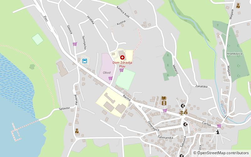
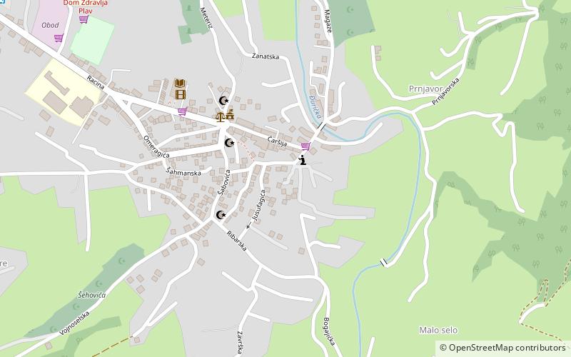
Redžepagića kula is a place located in Plav (Plav municipality) and belongs to the category of tower.
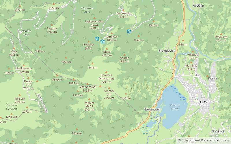
It is situated at an altitude of 3143 feet, and its geographical coordinates are 42°35'45"N latitude and 19°56'46"E longitude.
Among other places and attractions worth visiting in the area are: Stadion Pod Racinom (sport, 10 min walk), Lake Plav (nature, 27 min walk), Visitor Mountain (nature, 75 min walk).
Coordinates: 42°35'45"N, 19°56'46"E
Address
Plav
ContactAdd
Social media
Add
Day trips
Redžepagića kula – popular in the area (distance from the attraction)
Nearby attractions include: Lake Plav, Lake Visitor, Visitor Mountain, Maja e Kollatës.