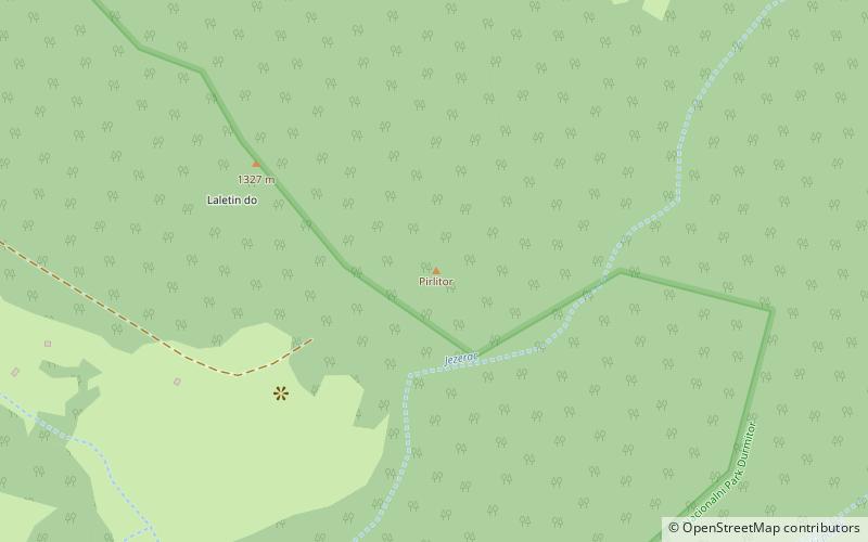
Pirlitor, Durmitor National Park

Map
Facts and practical information
Pirlitor was a medieval fortress in Mount Durmitor, in Old Herzegovina, built at the edge of the deep canyon of the Tara River. Only a part of the wall at the fortress's highest point has survived to the present day. It is located 16 km from the town of Žabljak, at the altitude of about 1450 meters. Pirlitor overlooked the medieval road between Nikšić and Pljevlja, at the place where the road descended from Durmitor's Lake Plateau into the canyon. ()
Coordinates: 43°9'48"N, 19°14'6"E
Address
Durmitor National Park
ContactAdd
Social media
Add
Day trips
Pirlitor – popular in the area (distance from the attraction)
Nearby attractions include: Đurđevića Tara Bridge.
