Buada Lagoon

Gallery (1)
Map

Map
Facts and practical information
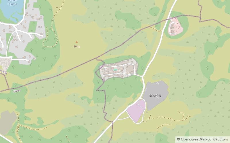
Buada Lagoon is a landlocked, slightly brackish, freshwater lake of Buada District in the island nation of Nauru. It occupies about 0.05 square miles. ()
Alternative names: Area: 7.41 acres (0.0116 mi²)Elevation: 184 ft a.s.l.Coordinates: 0°31'60"S, 166°55'1"E
Location
Buada
ContactAdd
Social media
Add
Day trips