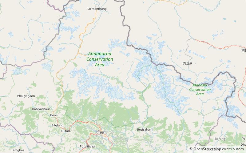
Pisang Peak, Annapurna Conservation Area
Map

Map

Facts and practical information
Pisang Peak is a pyramidal trekking peak above Pisang, a village on the Annapurna Circuit, within the Manang District, northern Nepal. It was first climbed by a German Expedition in 1955. ()
First ascent: 1955Elevation: 19984 ftCoordinates: 28°38'55"N, 84°11'15"E
Address
Annapurna Conservation Area
ContactAdd
Social media
Add
Day trips
Pisang Peak – popular in the area (distance from the attraction)
Nearby attractions include: Larkya La, Paungda Danda.


