Chamlang, Makalu Barun National Park

Gallery (1)
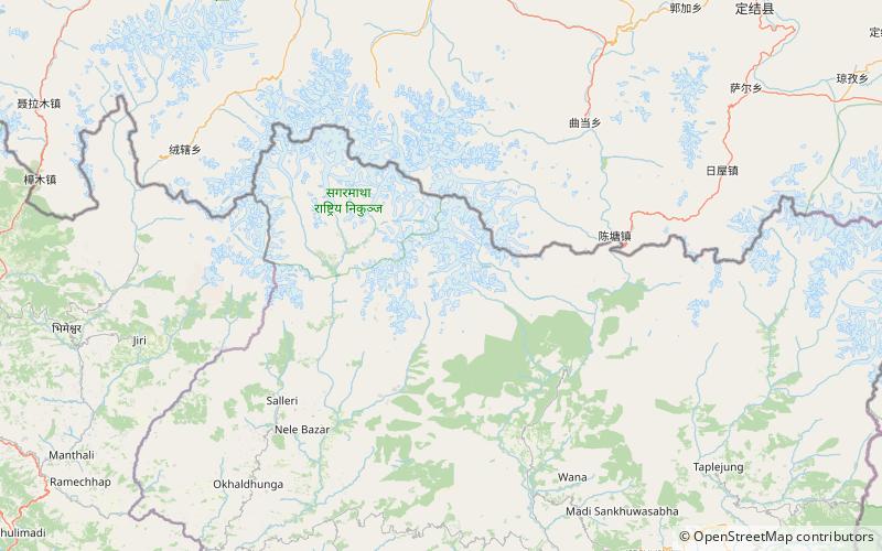
Map
Map
Facts and practical information
Alternative names: First ascent: 1962Elevation: 24012 ftProminence: 3914 ftCoordinates: 27°46'38"N, 86°58'53"E
Address
Makalu Barun National Park
ContactAdd
Social media
Add