Mera Peak, Makalu Barun National Park
Map

Map

Facts and practical information
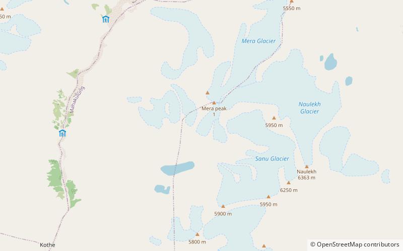
Mera Peak is a mountain in the Mahalangur section, Barun sub-section of the Himalaya and administratively in Nepal's Sagarmatha Zone, Sankhuwasabha. At 6,476 metres it is classified as a trekking peak. It contains three main summits: Mera North, 6,476 metres; Mera Central, 6,461 metres; and Mera South, 6,065 metres, as well as a smaller "trekking summit", visible as a distinct summit from the south but not marked on most maps of the region. ()
Alternative names: First ascent: 1975Elevation: 21247 ftProminence: 3488 ftCoordinates: 27°42'0"N, 86°52'0"E
Address
Makalu Barun National Park
ContactAdd
Social media
Add
Day trips
Mera Peak – popular in the area (distance from the attraction)
Nearby attractions include: Kusum Kanguru, Kyashar.


