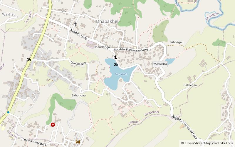
Nagdaha, Kathmandu

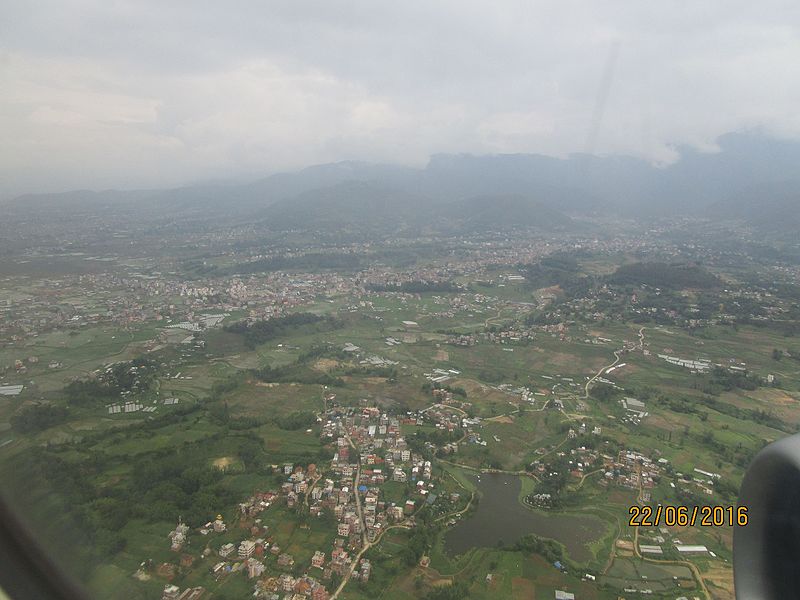
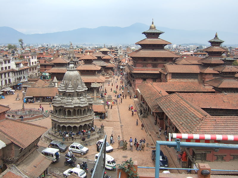
Gallery (2)
Map
Map
Gallery
Facts and practical information
Nagdaha is a lake in the Dhapakhel Village Development Committee of Lalitpur District, in the Kathmandu Valley, Nepal. ()
Local name: नागदहElevation: 4524 ft a.s.l.Coordinates: 27°37'29"N, 85°19'59"E
Address
Kathmandu
ContactAdd
Social media
Add
Getting there by public transportation
Public transportation stops near this location
- Bus
 Bus
Bus
- Calculate routeJharuwarashi-Lagankhel Bustop 24 min walk
- Calculate routeDholahiti bus station 36 min walk
Day trips


Frequently Asked Questions (FAQ)
How to get to Nagdaha by public transport?
The nearest stations to Nagdaha:
Bus
Bus
- Jharuwarashi-Lagankhel Bustop (24 min walk)
- Dholahiti bus station (36 min walk)