Lingtren, Mount Everest

Gallery (3)
Map
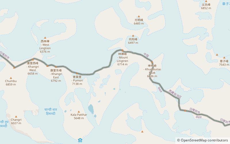
Map
Gallery
Facts and practical information
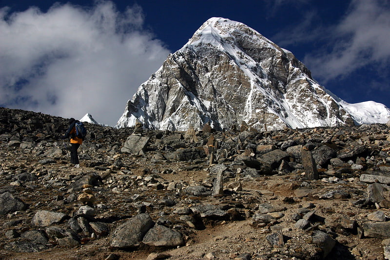
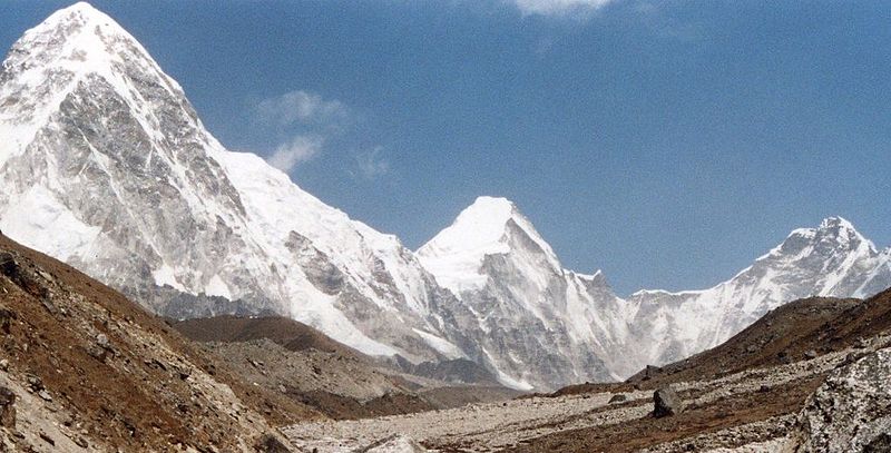
Lingtren, 6,749 metres, is a mountain in the Mahalangur Himal area of Himalaya, about 8 kilometres distant in a direct line from Mount Everest. It lies on the international border between Nepal and the Tibet Autonomous Region of China and it was first climbed in 1935. A mountain nearby to the west was originally named Lingtrennup but is now more commonly called Xi Lingchain. ()
Day trips