Khaptad National Park
Map

Map

Facts and practical information
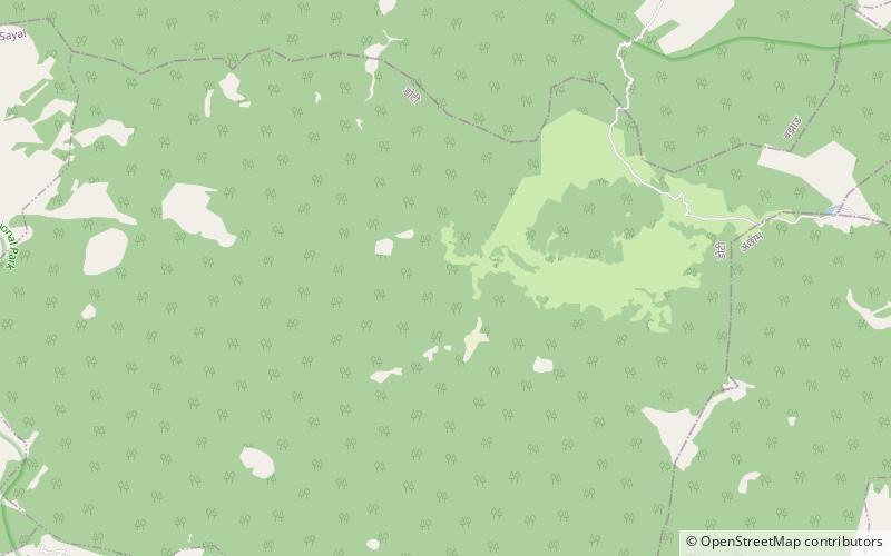
Khaptad National Park is a protected area in the Far-Western Region, Nepal that was established in 1984. Stretching over the four districts of Bajhang, Bajura, Achham and Doti it covers an area of 225 km2 and ranges in elevation from 1,400 m to 3,300 m. ()
Local name: खप्तड राष्ट्रिय निकुञ्ज Established: 1984 (42 years ago)Elevation: 9902 ft a.s.l.Coordinates: 29°22'39"N, 81°6'33"E
Location
Far-Western
ContactAdd
Social media
Add
Best Ways to Experience the Park
Wildlife
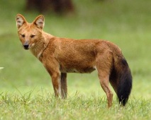
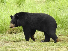
AnimalsSee what popular animal species you can meet in this location.
More
Show more


