Koshi Barrage
Map

Map

Facts and practical information
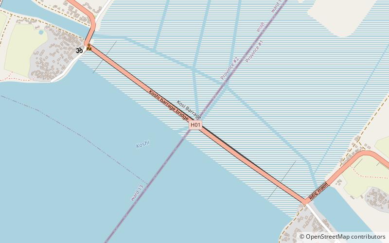
The Koshi Barrage is a sluice across the Koshi river that carries vehicular, bicycle, and pedestrian traffic between Saptari district and Sunsari district of Nepal. It is near the international border with India. It was built between 1958 and 1962 and has 56 gates. It was constructed after the Koshi Agreement was signed between the Government of Nepal and India on April 25, 1954. The barrage was designed and built by Joseph and Company Limited, India. The Koshi Tappu Wildlife Reserve is roughly 3–4 miles north of the barrage. ()
Local name: कोशी बाँधOpened: 1962 (64 years ago)Length: 3773 ftWidth: 33 ftCoordinates: 26°31'34"N, 86°55'37"E
Location
East
ContactAdd
Social media
Add
Day trips
Koshi Barrage – popular in the area (distance from the attraction)
Nearby attractions include: Kankalini Temple, Chandra Nahar Canal.


