Rasuwa Fort

Gallery (1)
Map
Map
Facts and practical information
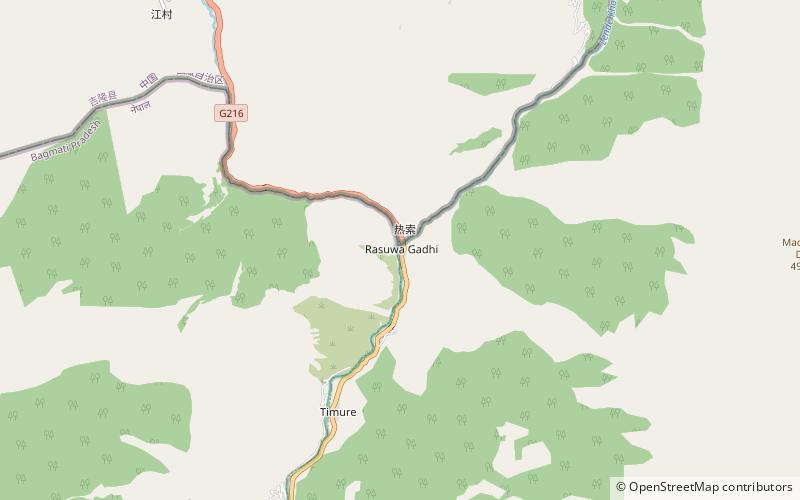
Rasuwa Fort or Rasuwa Gadhi is a historical fort ruin in the Rasuwa District of Nepal roughly at the border with Tibet, China. It is located along the Trishuli River 3 kilometres north of the Nepalese town of Timure in Langtang National Park, yet 25 km south of the nearest locality of China at Gyirong Town. ()
Local name: रसुवागढीBuilt: 1855 (171 years ago)Coordinates: 28°16'40"N, 85°22'39"E