Dhaulagiri
Map
Gallery

Facts and practical information
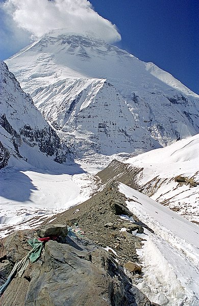
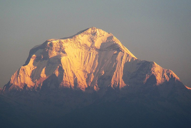
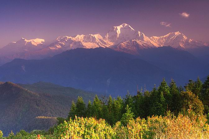
Dhaulagiri is the seventh highest mountain in the world at 8,167 metres above sea level, and the highest mountain within the borders of a single country. It was first climbed on 13 May 1960 by a Swiss-Austrian-Nepali expedition. Annapurna I is 34 km east of Dhaulagiri. The Kali Gandaki River flows between the two in the Kaligandaki Gorge, said to be the world's deepest. The town of Pokhara is south of the Annapurnas, an important regional center and the gateway for climbers and trekkers visiting both ranges as well as a tourist destination in its own right. ()
Local name: धौलागिरी हिमाल First ascent: 1960Elevation: 26795 ftProminence: 11014 ftCoordinates: 28°41'54"N, 83°29'15"E
Location
West
ContactAdd
Social media
Add


