Central Development Region, Kathmandu
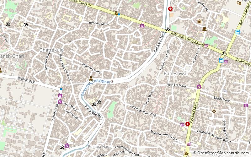
Map
Facts and practical information
Address
Kathmandu
ContactAdd
Social media
Add
Getting there by public transportation
Public transportation stops near this location
- Bus
 Bus
Bus
- Calculate routeOld Baneshwar Tempo Station 11 min walk
- Calculate routeOld Baneshwor Station One 13 min walk
- Calculate routeTurning 18 min walk
- Calculate routeBaneshwar Bus Station 20 min walk
Day trips


Frequently Asked Questions (FAQ)
Which popular attractions are close to Central Development Region?
Nearby attractions include Singha Durbar, Kathmandu (13 min walk), Gyaneshwar, Kathmandu (18 min walk), Islington College, Kathmandu (19 min walk), Nepal Art Council Gallery, Kathmandu (21 min walk).
How to get to Central Development Region by public transport?
The nearest stations to Central Development Region:
Bus
Bus
- Old Baneshwar Tempo Station (11 min walk)
- Old Baneshwor Station One (13 min walk)