Sinkholes of Armala, Pokhara
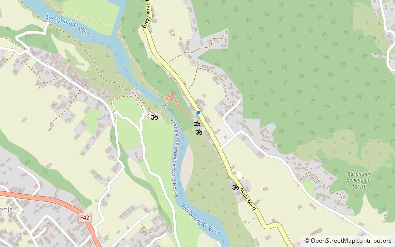
Map
Facts and practical information
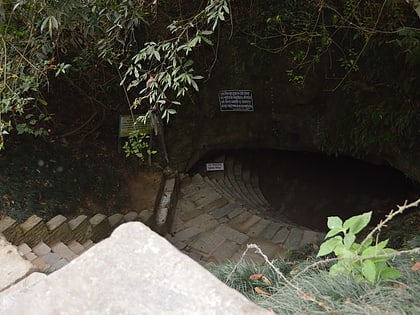
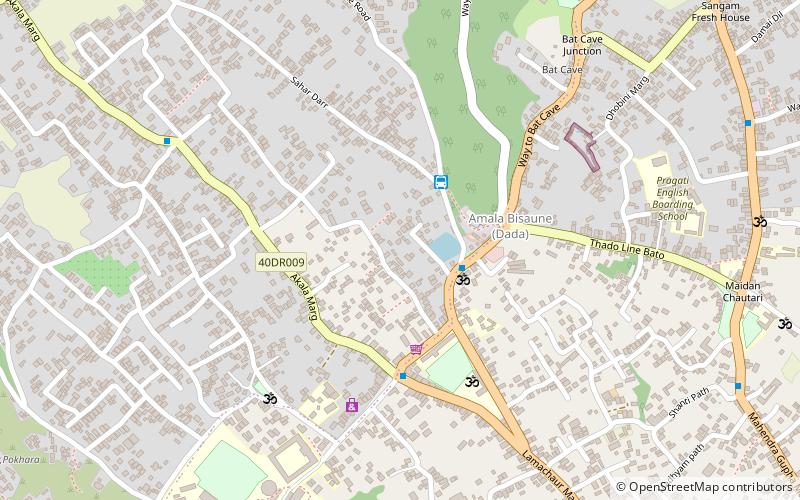
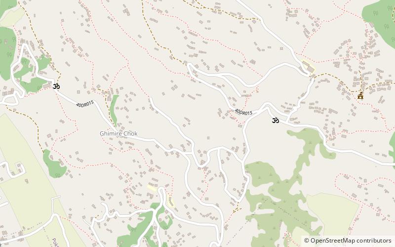
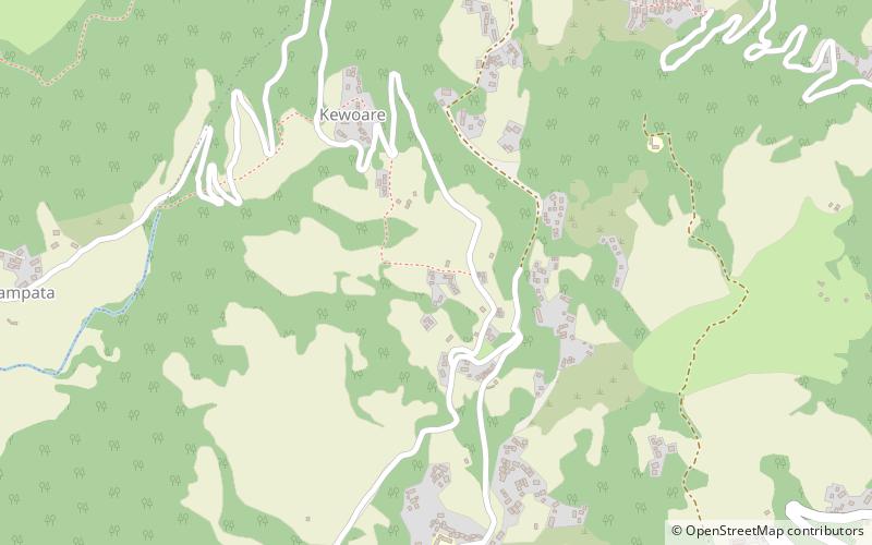
In between November 2013 to 2017, more than 200 sinkholes were formed in the Armala area of Pokhara. The sinkholes were formed mostly in the paddy fields in the alluvial fan deposit. The sinkholes terrorised and displaced hundreds of local residents. ()
Coordinates: 28°17'44"N, 83°58'41"E
Address
Pokhara
ContactAdd
Social media
Add
Day trips
Sinkholes of Armala – popular in the area (distance from the attraction)
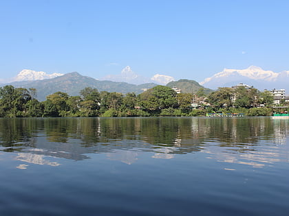
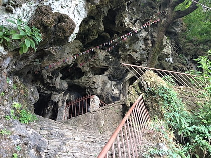
Nearby attractions include: Phewa Lake, Bat Cave, Mahendra Cave, Akala Devi Temple.
Frequently Asked Questions (FAQ)
How to get to Sinkholes of Armala by public transport?
The nearest stations to Sinkholes of Armala:
Bus
Bus
- Jogimadi Station • Lines: Jogimadi-Bagar (28 min walk)
- Health Post Stop • Lines: Kharapani-Bagar Route (39 min walk)
