Lazimpat, Kathmandu
Map
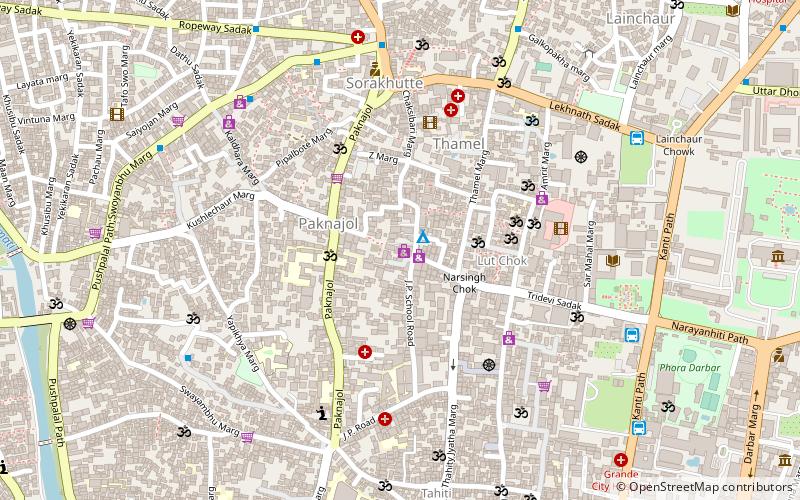
Map

Facts and practical information
Lazimpat is a residential area of Kathmandu, the capital city of Nepal. It is close to the Narayanhity Palace, and is well known in Kathmandu for its hotels, restaurants, schools, colleges, embassies and department stores. The neighborhood's name derives from Lazimpat Durbar, that lies in its vicinity and was converted into Hotel Shanker. ()
Coordinates: 27°42'54"N, 85°18'36"E
Address
Kathmandu
ContactAdd
Social media
Add
Day trips
Lazimpat – popular in the area (distance from the attraction)
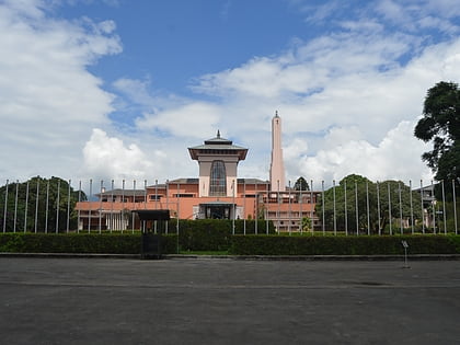
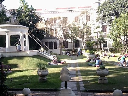
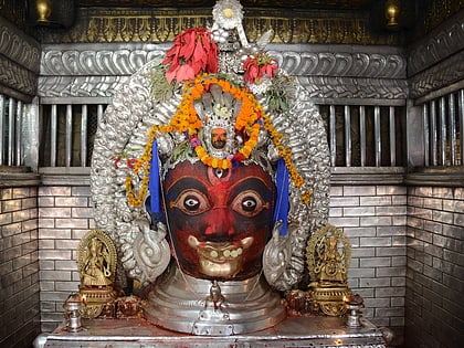
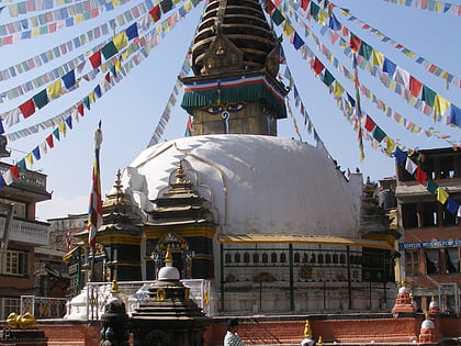
Nearby attractions include: Narayanhiti Palace Museum, Taleju Temple, Asan, Garden of Dreams.
Frequently Asked Questions (FAQ)
Which popular attractions are close to Lazimpat?
Nearby attractions include Langtang Valley Trekking, Kathmandu (2 min walk), Thamel, Kathmandu (5 min walk), Amrit Campus, Kathmandu (7 min walk), Kaiser Library, Kathmandu (8 min walk).
How to get to Lazimpat by public transport?
The nearest stations to Lazimpat:
Bus
Bus
- Greenline Travels (9 min walk)
- Lainchowr Bus Station (9 min walk)

