Tilaurakot
Map

Map

Facts and practical information
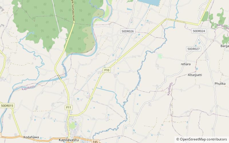
Tilaurakot is a neighborhood in Kapilvastu Municipality in Kapilvastu District, in the Lumbini Province of southern Nepal. Previously it was a Village development committee. At the time of the 1991 Nepal census it had a population of 5684 people living in 944 individual households. It is situated 25 kilometers northwest of the Maya Devi Temple in Lumbini, and 4.5 kilometers southeast of Nigali Sagar in Nigalihawa. ()
Location
West
ContactAdd
Social media
Add
Day trips
Tilaurakot – popular in the area (distance from the attraction)
Nearby attractions include: Kapilvastu Municipality, Jagdishpur Reservoir.


