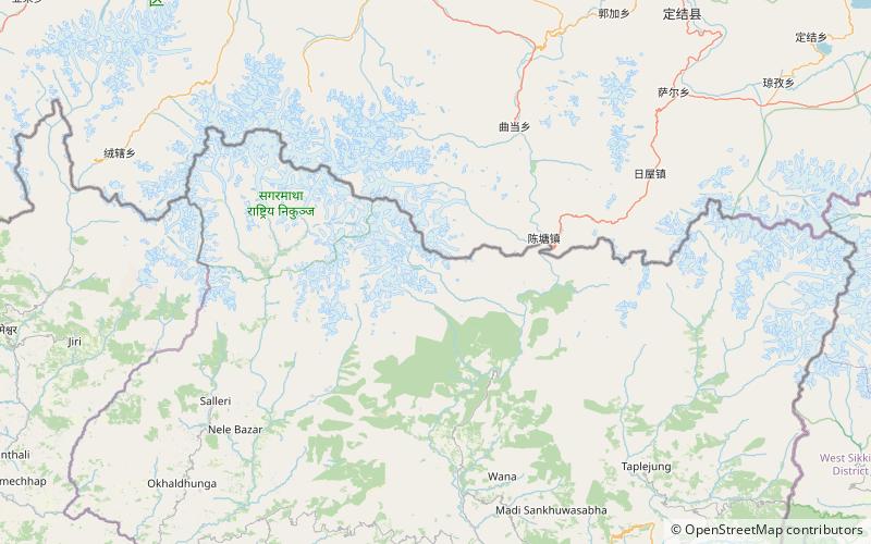
Ripuk, Makalu Barun National Park
Map

Map

Facts and practical information
Ripuk is a local name for one of the highland pastures in Barun Valley where locals set up their temporary seasonal settlements. ()
Coordinates: 27°47'27"N, 87°8'31"E
Address
Makalu Barun National Park
ContactAdd
Social media
Add
Day trips
Ripuk – popular in the area (distance from the attraction)
Nearby attractions include: Barun Valley.

