Gyachung Kang, Qomolangma
Map

Map

Facts and practical information
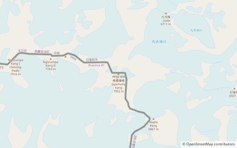
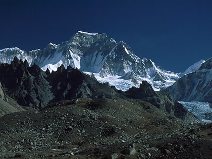
Gyachung Kang is a mountain in the Mahalangur Himal section of the Himalayas, and is the highest peak between Cho Oyu and Mount Everest. It lies on the border between Nepal and China. As the fifteenth-highest peak in the world, it is also the highest peak that is not eight thousand metres tall; hence, it is far less well-known than the lowest of the eight-thousanders, which are only about 100 m higher. The peak's lack of significant prominence also contributes to its relative obscurity. ()
Local name: ग्याचुङ काङ First ascent: 1964Elevation: 26089 ftProminence: 2297 ftCoordinates: 28°5'53"N, 86°44'41"E
Address
Qomolangma
ContactAdd
Social media
Add
Day trips
Gyachung Kang – popular in the area (distance from the attraction)
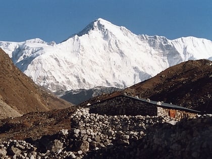
Nearby attractions include: Cho Oyu, Tenzing Peak.


