Westpoort, Amsterdam
Map

Map

Facts and practical information
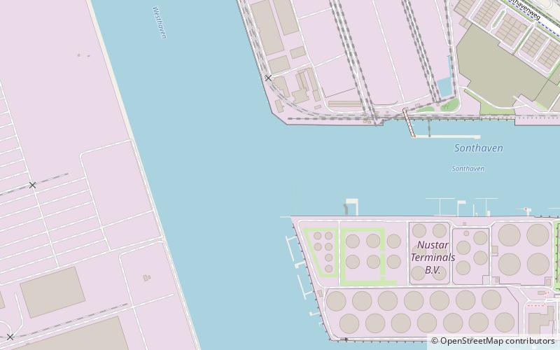
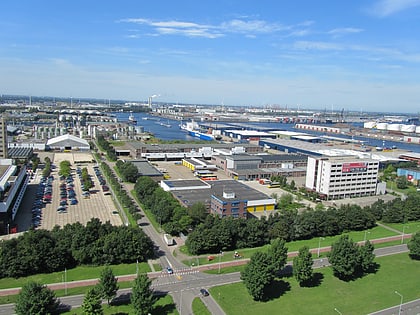
Westpoort is a borough of Amsterdam, Netherlands. The borough covers the Port of Amsterdam, the main harbour and industrial area of the city, and is located in the north-western part of Amsterdam. It is divided in the industrial areas of Teleport, Sloterdijk areas I, II and II, De Heining and the harbour area. ()
Address
Westpoort (Westelijk Havengebied)Amsterdam
ContactAdd
Social media
Add
Day trips
Westpoort – popular in the area (distance from the attraction)
Nearby attractions include: Klimhal Amsterdam, Port of Amsterdam, Hembrug, Hembrugmuseum.
Frequently Asked Questions (FAQ)
How to get to Westpoort by public transport?
The nearest stations to Westpoort:
Ferry
Bus
Train
Metro
Ferry
- Hempontplein • Lines: F20 (23 min walk)
- Zaandam • Lines: F20 (28 min walk)
Bus
- Hornhaven • Lines: 231, 382 (24 min walk)
- Oderweg • Lines: 231, 382 (28 min walk)
Train
- Amsterdam Sloterdijk (35 min walk)
Metro
- Station Sloterdijk • Lines: 50, 51 (36 min walk)

 Metro / Trams


