Sandelingen Ambacht, Dordrecht
Facts and practical information
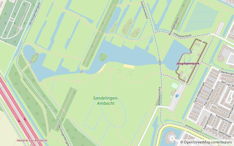
Nestled within the bustling city of Dordrecht, Netherlands, Sandelingen Ambacht stands out as a verdant oasis offering a tranquil escape from urban life. This picturesque park serves as a beloved green space where nature and leisure coalesce, providing residents and visitors alike with an ideal setting for relaxation and outdoor activities.
Spanning an impressive area, Sandelingen Ambacht is meticulously maintained, featuring lush lawns, meandering paths, and a variety of flora that together create a serene atmosphere. It is a place where one can enjoy the simple pleasures of a leisurely stroll, a family picnic, or a solitary moment of reflection surrounded by the gentle rustle of leaves.
The park's design caters to a wide range of interests and ages. Children can frolic in dedicated play areas, while fitness enthusiasts take advantage of jogging trails and open spaces perfect for yoga or exercise routines. For those with a penchant for flora, the park's gardens display a tapestry of colors and textures throughout the changing seasons.
Accessibility is a key feature of Sandelingen Ambacht, ensuring that everyone, including those with limited mobility, can enjoy the park's offerings. Benches are strategically placed throughout the park, offering restful spots for visitors to sit back and soak in the peaceful ambiance or observe the local wildlife.
As a hub of community life, the park also plays host to occasional cultural events and festivities that bring together people from all walks of life. These events highlight the park's role not only as a natural retreat but also as a social space that fosters a sense of community and belonging.
Dordrecht
- Bus
 Bus
Bus
- Calculate routeBegraafplaats 11 min walk
- Calculate routeSchutse 11 min walk
- Calculate routeBanckertplein 11 min walk


Frequently Asked Questions (FAQ)
Which popular attractions are close to Sandelingen Ambacht?
How to get to Sandelingen Ambacht by public transport?
Bus
- Begraafplaats • Lines: 192 (11 min walk)
- Schutse • Lines: 192 (11 min walk)