Vrijhoef, Gouda
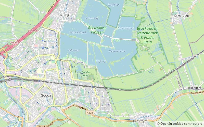
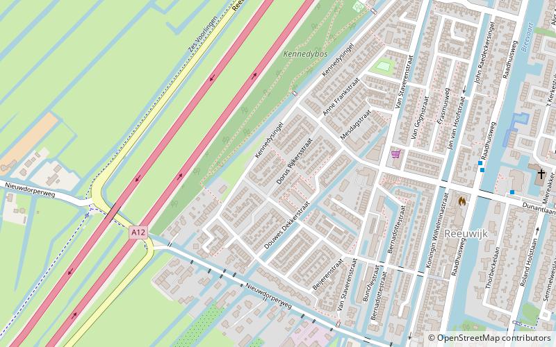
Map
Facts and practical information
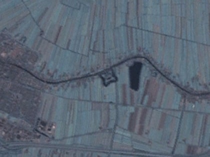
Vrijhoef en Kalverbroek is a former heerlijkheid and municipality in the Dutch province of South Holland. It was located about 3 km east of the city of Gouda, in the current municipality of Reeuwijk. The area of the former municipality is now almost completely covered by the lakes of the Reeuwijksche Plassen. ()
Coordinates: 52°1'29"N, 4°44'54"E
Address
Gouda
ContactAdd
Social media
Add
Day trips
Vrijhoef – popular in the area (distance from the attraction)
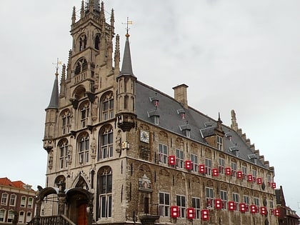
Nearby attractions include: Groenhovenbad, Sint-Janskerk, Fort Wierickerschans, Stadhuis.
Frequently Asked Questions (FAQ)
How to get to Vrijhoef by public transport?
The nearest stations to Vrijhoef:
Train
Bus
Train
- Gouda Goverwelle (19 min walk)
Bus
- Middenmolenplein • Lines: 3 (26 min walk)
- Goverwellepassage • Lines: 3 (26 min walk)


