Lange Voorhout, The Hague
Map
Map

Facts and practical information
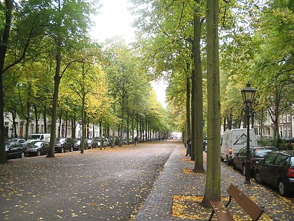
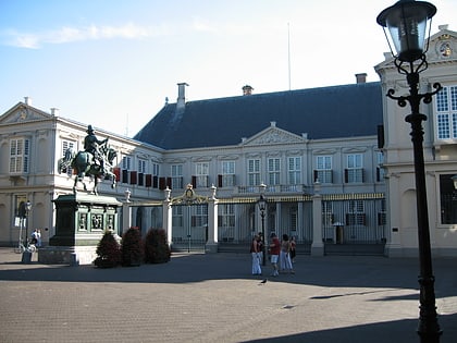
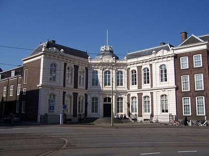
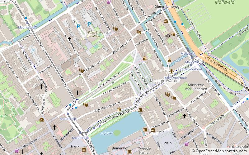
The Lange Voorhout is a street in the old city centre of The Hague, Netherlands. It is L-shaped and runs from Kneuterdijk in the west to Toernooiveld in the east, reaching approximately 0.47 kilometres in length. ()
Address
Lange VoorhoutCentrum (Voorhout)The Hague 2514 EA
ContactAdd
Social media
Add
Day trips
Lange Voorhout – popular in the area (distance from the attraction)
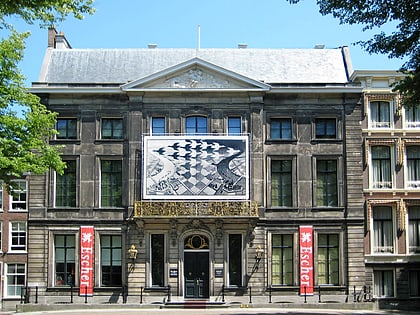
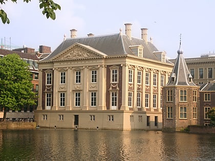
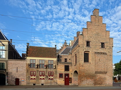
Nearby attractions include: Escher in Het Paleis, Mauritshuis, Galerij Prins Willem V, Paleis Noordeinde.
Frequently Asked Questions (FAQ)
Which popular attractions are close to Lange Voorhout?
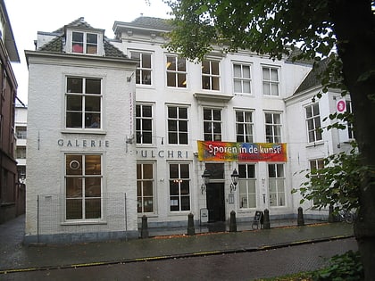
Nearby attractions include Pulchri Studio, The Hague (2 min walk), Escher in Het Paleis, The Hague (3 min walk), Museum Bredius, The Hague (3 min walk), Koninklijke Schouwburg, The Hague (4 min walk).
How to get to Lange Voorhout by public transport?
The nearest stations to Lange Voorhout:
Bus
Tram
Train
Metro
Bus
- Kneuterdijk • Lines: 22, 24, 28 (5 min walk)
- Malieveld • Lines: 20, 29 (6 min walk)
Tram
- Korte Voorhout • Lines: 15, 16 (5 min walk)
- Buitenhof • Lines: 15, 16 (5 min walk)
Train
- Den Haag Centraal (13 min walk)
- Den Haag HS (25 min walk)
Metro
- Den Haag Centraal • Lines: E (15 min walk)
