Corneliuskerk, Duiveland

Gallery (1)
Map
Map
Facts and practical information
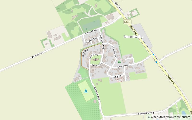
Corneliuskerk is a place located in Duiveland (Zeeland province) and belongs to the category of church.
It is situated at an altitude of 3 feet, and its geographical coordinates are 51°43'6"N latitude and 3°47'34"E longitude.
Planning a visit to this place, one can easily and conveniently get there by public transportation. Corneliuskerk is a short distance from the following public transport stations: Provincialeweg (bus, 6 min walk).
Among other places and attractions worth visiting in the area are: Jacobuskerk (church, 32 min walk), Hervormde kerk (church, 38 min walk), 't Hert (windmill, 43 min walk).
Coordinates: 51°43'6"N, 3°47'34"E
Getting there by public transportation
Public transportation stops near this location
- Bus
 Bus
Bus
- Calculate routeProvincialeweg 6 min walk
- Calculate routeKuijerdamseweg 11 min walk
- Calculate routeCamping Agri Nova 21 min walk
Day trips


Frequently Asked Questions (FAQ)
How to get to Corneliuskerk by public transport?
The nearest stations to Corneliuskerk:
Bus
Bus
- Provincialeweg • Lines: 133, 628, 633 (6 min walk)
- Kuijerdamseweg • Lines: 104, 133, 628, 633 (11 min walk)