Scharwoude, Hoorn

Map
Facts and practical information
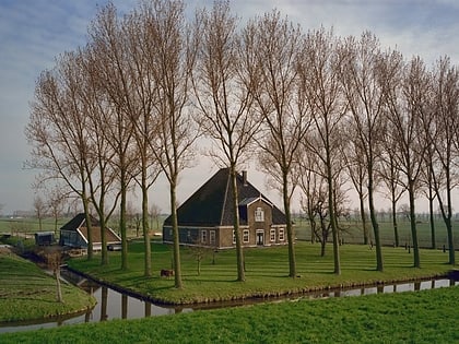
Scharwoude is a former municipality in the Dutch province of North Holland. It existed between 1812 and 1817, when it was divided into two municipalities: Noord-Scharwoude and Zuid-Scharwoude. It is now part of the municipality of Langedijk. ()
Coordinates: 52°37'0"N, 5°1'0"E
Address
Hoorn
ContactAdd
Social media
Add
Day trips
Scharwoude – popular in the area (distance from the attraction)
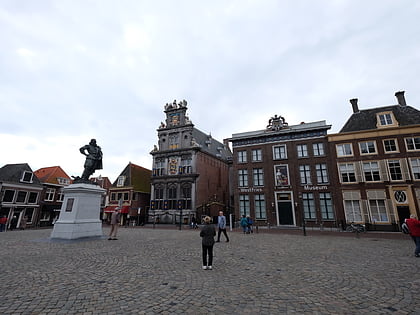
Nearby attractions include: Museumstoomtram Hoorn-Medemblik, Westfries Museum, Roode Steen, Oosterkerk.
Frequently Asked Questions (FAQ)
How to get to Scharwoude by public transport?
The nearest stations to Scharwoude:
Bus
Bus
- Ooms • Lines: 314, N14 (11 min walk)
- Rijksweg • Lines: 314, 614, N14 (13 min walk)


