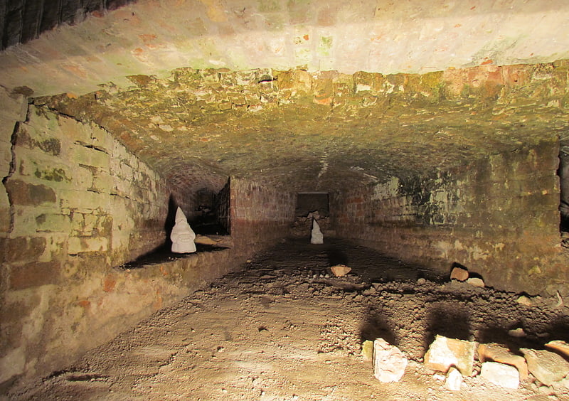
St. Eloy's Hospice, Utrecht

Gallery (2)
Map


Map
Gallery
Facts and practical information
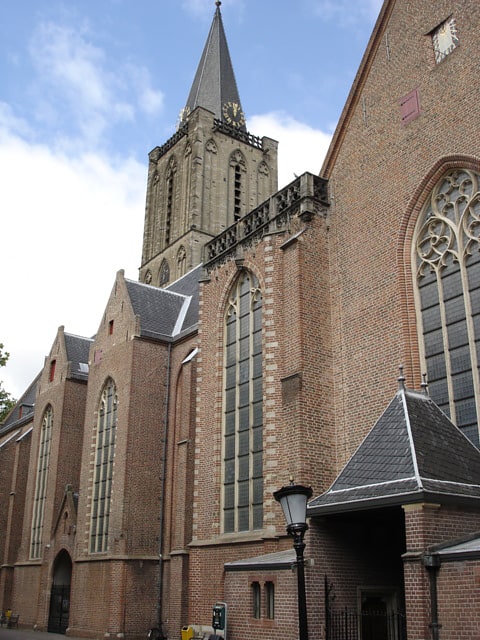
St. Eloy's Hospice is a guildhall in Utrecht in the Netherlands. ()
Address
Binnenstad (Lange Elisabethstraat Mariaplaats)Utrecht
ContactAdd
Social media
Add
Getting there by public transportation
Public transportation stops near this location
- Bus
- Tram
- Train
 Bus
Bus
- Calculate routeDomplein 4 min walk
- Calculate routeMoreelsepark 5 min walk
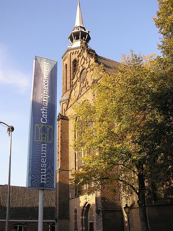
- Calculate routeCatharijneconvent 6 min walk
- Calculate routeNicolaas Beetsstraat 7 min walk
- Calculate routeCentraal Station Centrumzijde B2 8 min walk
- Calculate routeCentraal Station Jaarbeursplein 15 min walk
- Calculate routeUtrecht Vaartsche Rijn 19 min walk
- Calculate routeUtrecht Centraal 11 min walk
- Calculate routeUtrecht Maliebaan 14 min walk
- Calculate routeUtrecht Vaartsche Rijn 19 min walk
Day trips
St. Eloy's Hospice – popular in the area (distance from the attraction)
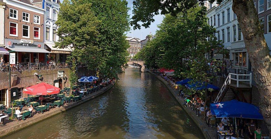
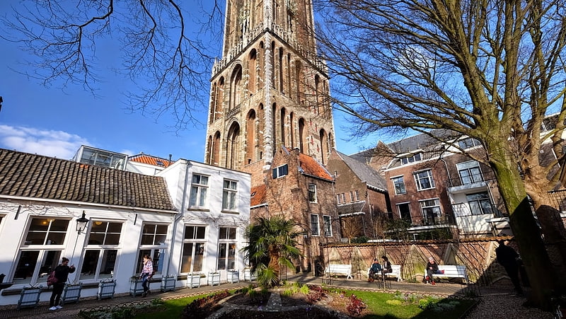
Nearby attractions include: St. Martin's Cathedral, Vredenburg Castle, Oudegracht, Domtoren.


Frequently Asked Questions (FAQ)
Which popular attractions are close to St. Eloy's Hospice?
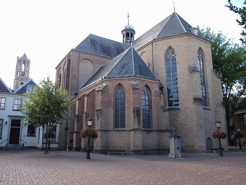
Nearby attractions include Buurkerk, Utrecht (3 min walk), Museum Speelklok, Utrecht (3 min walk), Utrechts Conservatorium, Utrecht (3 min walk), St. Mary's Church, Utrecht (3 min walk).
How to get to St. Eloy's Hospice by public transport?
The nearest stations to St. Eloy's Hospice:
Bus
Tram
Train
Bus
- Domplein • Lines: 2 (4 min walk)
- Moreelsepark • Lines: 2 (5 min walk)
Tram
- Centraal Station Centrumzijde B2 • Lines: 22 (8 min walk)
- Centraal Station Jaarbeursplein • Lines: 60, 61 (15 min walk)
Train
- Utrecht Centraal (11 min walk)
- Utrecht Maliebaan (14 min walk)