IJsselmonde, Rotterdam
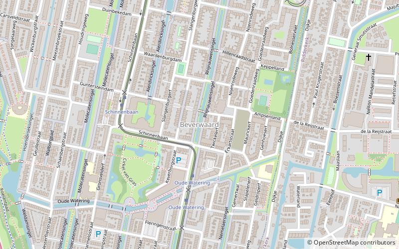
Map
Facts and practical information
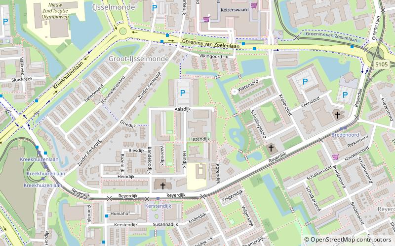
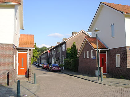
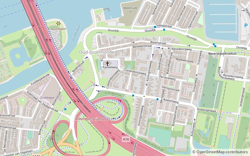
IJsselmonde is a former village in the Dutch province of South Holland. It was located to the east of the city of Rotterdam. The village derives its name from the river Hollandsche IJssel, which flows into the Nieuwe Maas opposite from the village. The village gives its name to the large island it's on, IJsselmonde. ()
Coordinates: 51°54'0"N, 4°33'0"E
Address
IJsselmonde (Oud-IJsselmonde)Rotterdam
ContactAdd
Social media
Add
Day trips
IJsselmonde – popular in the area (distance from the attraction)
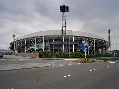
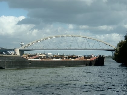
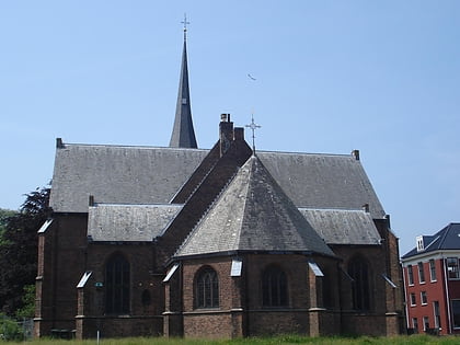
Nearby attractions include: De Kuip, Van Brienenoord Bridge, Oud-IJsselmonde, IJsselmonde.
Frequently Asked Questions (FAQ)
Which popular attractions are close to IJsselmonde?
Nearby attractions include Sagenbuurt, Rotterdam (1 min walk), Oud-IJsselmonde, Rotterdam (3 min walk), Van Brienenoord Bridge, Rotterdam (7 min walk), Zomerland, Rotterdam (13 min walk).
How to get to IJsselmonde by public transport?
The nearest stations to IJsselmonde:
Bus
Tram
Ferry
Bus
- Van Hoochstratenweg • Lines: 183, 283, 83 (2 min walk)
- Roelantweg • Lines: 140, 183, 283, 83 (3 min walk)
Tram
- Adriaan Volkerlaan • Lines: 12, 23 (15 min walk)
- Dwarsdijk • Lines: 12, 23 (17 min walk)
Ferry
- Krimpen aan den IJssel, Stormpolder • Lines: 20, 201 (29 min walk)
