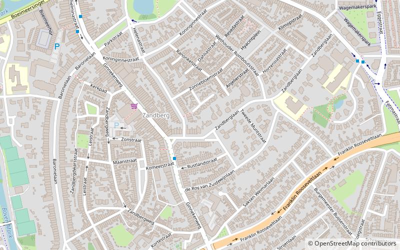
Zandberg, Breda

Map
Facts and practical information
Zandberg is a neighbourhood and residential district to the southeast of the city centre of Breda, an extension raised in the 1920s and 1930s. It is only one of four parts of one of the seven greater quarters of that city, officially called 'Breda East'. ()
Coordinates: 51°34'37"N, 4°46'59"E
Address
Breda Oost (Zandberg)Breda
ContactAdd
Social media
Add
Day trips
Zandberg – popular in the area (distance from the attraction)
Nearby attractions include: Bouvigne Castle, Stedelijk Museum Breda, Grote Kerk, Kasteel van Breda.
Frequently Asked Questions (FAQ)
Which popular attractions are close to Zandberg?
Nearby attractions include Wilhelminapark, Breda (9 min walk), van Coothplein, Breda (13 min walk), Breda's Museum, Breda (14 min walk), Drift, Breda (18 min walk).
How to get to Zandberg by public transport?
The nearest stations to Zandberg:
Bus
Bus
- Ginnekenweg • Lines: 7 (3 min walk)
- Prins Hendrikstraat • Lines: 7 (7 min walk)


