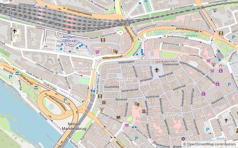
Korenmarkt, Arnhem


Facts and practical information
Korenmarkt is a place located in Arnhem (Gelderland province) and belongs to the category of square.
It is situated at an altitude of 75 feet, and its geographical coordinates are 51°58'57"N latitude and 5°54'17"E longitude.
Planning a visit to this place, one can easily and conveniently get there by public transportation. Korenmarkt is a short distance from the following public transport stations: Willemsplein (bus, 3 min walk), Arnhem, Willemsplein (trolleybus, 3 min walk), Arnhem Centraal (train, 6 min walk), Stadsblokkenwerf Zuid (ferry, 10 min walk).
Among other places and attractions worth visiting in the area are: Coehoorn park (park, 3 min walk), Eusebiuskerk (church, 9 min walk), Molenplaats Sonsbeek (museum, 9 min walk).
RijnstraatArnhem
Korenmarkt – popular in the area (distance from the attraction)
Nearby attractions include: Eusebiuskerk, John Frost Bridge, Museum Arnhem, KEMA Toren.
Frequently Asked Questions (FAQ)
Which popular attractions are close to Korenmarkt?
How to get to Korenmarkt by public transport?
Bus
- Willemsplein • Lines: 10, 105, 110, 26, 27, 29, 300, 33, 331, 60, 62, 77, 8, 843, 862, 9, C2 (3 min walk)
- Rijnstraat • Lines: 11, 14, 331, 56, 57, 72 (3 min walk)
Trolleybus
- Arnhem, Willemsplein • Lines: 1, 2, 3, 5, 6, 7 (3 min walk)
- Centraal Station • Lines: 2 (4 min walk)
Train
- Arnhem Centraal (6 min walk)
- Arnhem Velperpoort (18 min walk)
Ferry
- Stadsblokkenwerf Zuid • Lines: Stadsblokkenwerf (10 min walk)


