Damstraat, Haarlem
Map
Gallery
Facts and practical information
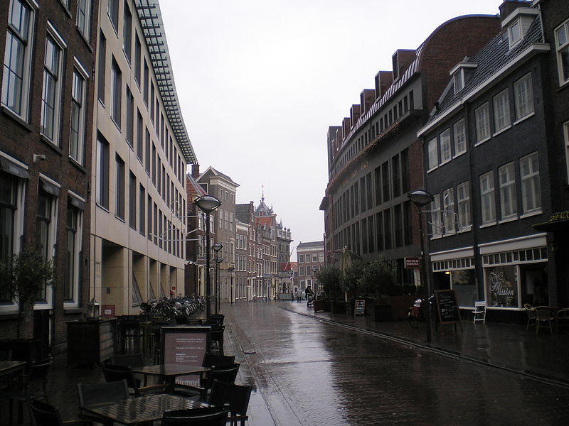
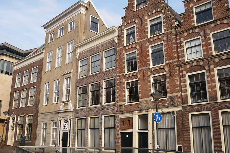
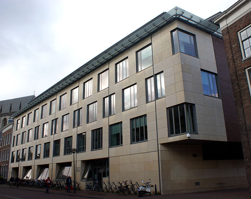
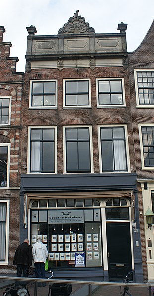
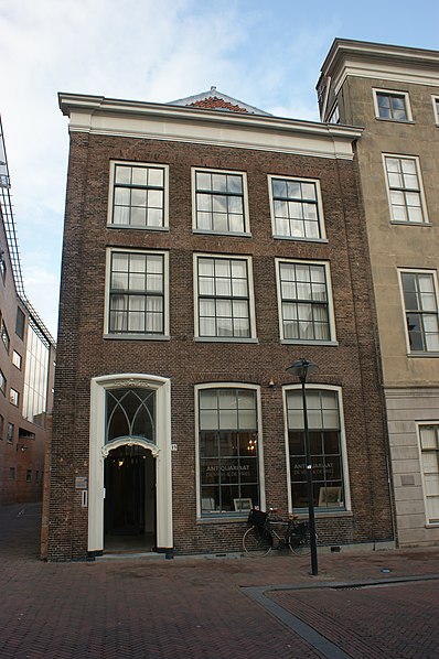
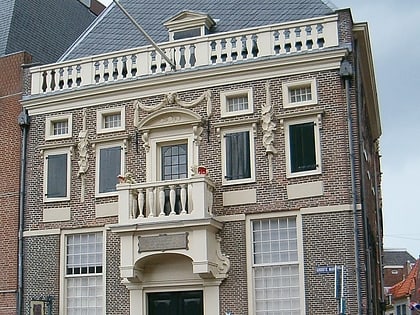
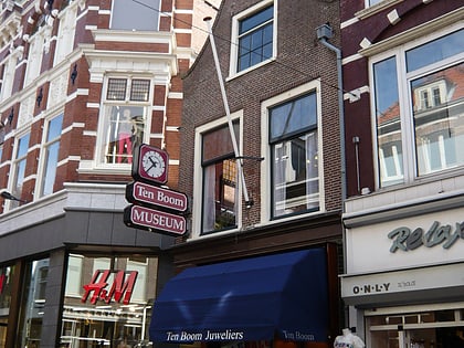
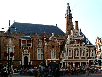
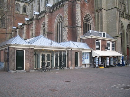
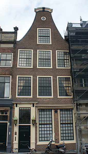
The Damstraat is a street in Haarlem, connecting the Spaarne river to the "Lange Veerstraat", "Klokhuisplein" and the "Oude Groenmarkt" behind the St. Bavochurch. ()
Address
Oude Stad (Centrum)Haarlem
ContactAdd
Social media
Add
Day trips
Damstraat – popular in the area (distance from the attraction)
Nearby attractions include: Teylers Museum, Great Church, De Hallen Haarlem, Grote Markt.
Frequently Asked Questions (FAQ)
Which popular attractions are close to Damstraat?
Nearby attractions include Teylers Museum, Haarlem (2 min walk), Teylers astronomical observatory, Haarlem (2 min walk), Koninklijke Hollandsche Maatschappij der Wetenschappen, Haarlem (2 min walk), Johan Enschedé Hof, Haarlem (2 min walk).
How to get to Damstraat by public transport?
The nearest stations to Damstraat:
Bus
Train
Bus
- Turfmarkt • Lines: 2, 3, 568, 73 (6 min walk)
- Centrum/Verwulft • Lines: 2, 3, 568, 73 (7 min walk)
Train
- Haarlem (14 min walk)


