Potgietersingel, Zwolle
Map

Map

Facts and practical information
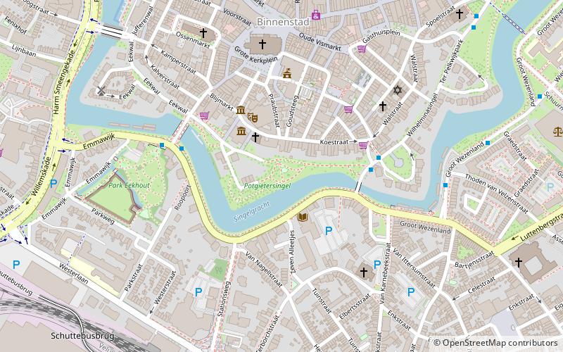
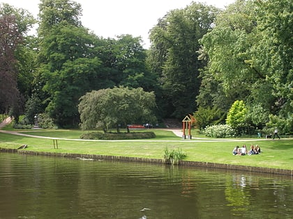
The Potgietersingel is a park in the city of Zwolle. The park was constructed in the early nineteenth century on former fortifications, from the seventeenth century. The park is named after Everhardus Johannes Potgieter.
Elevation: 23 ft a.s.l.Coordinates: 52°30'34"N, 6°5'34"E
Address
Binnenstad (Binnenstad-Zuid)Zwolle
ContactAdd
Social media
Add
Day trips
Potgietersingel – popular in the area (distance from the attraction)
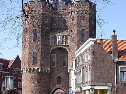
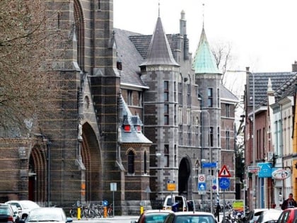
Nearby attractions include: Museum de Fundatie, MAC³PARK Stadion, Vrouwenhuis, Sassenpoort.
Frequently Asked Questions (FAQ)
Which popular attractions are close to Potgietersingel?
Nearby attractions include Museum de Fundatie, Zwolle (2 min walk), Sassenpoort, Zwolle (4 min walk), Nieuwe Markt, Zwolle (4 min walk), Great Church, Zwolle (5 min walk).
How to get to Potgietersingel by public transport?
The nearest stations to Potgietersingel:
Bus
Train
Bus
- Sassenpoort • Lines: 4 (4 min walk)
- Emmawijk • Lines: 3, 4, 40, 70, C1 (4 min walk)
Train
- Zwolle (8 min walk)


