Capelle en Botland, Duiveland
Map
Facts and practical information
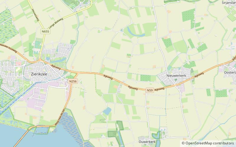
Capelle en Botland is a short-lived municipality in the Dutch province of Zeeland. It existed until 1813, when it was annexed by the municipality of Nieuwerkerk. ()
Address
Duiveland
ContactAdd
Social media
Add
Getting there by public transportation
Public transportation stops near this location
- Bus
 Bus
Bus
- Calculate routeVissersweg 21 min walk
Day trips


Frequently Asked Questions (FAQ)
How to get to Capelle en Botland by public transport?
The nearest stations to Capelle en Botland:
Bus
Bus
- Vissersweg • Lines: 133, 633 (21 min walk)