Vliet, The Hague
Map
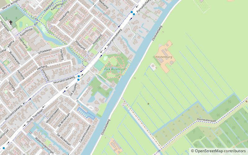
Map

Facts and practical information
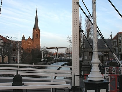
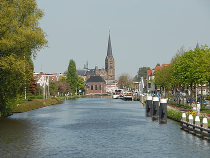
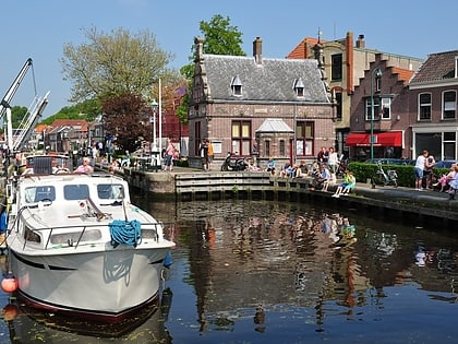
The Vliet is a canal in the western Netherlands, in the province of South Holland. It starts at the Oude Rijn at Leiden and joins the Delfshavense Schie canal at Delft. Places along its banks include Voorschoten, Leidschendam, Voorburg, The Hague and Rijswijk. ()
Address
't Lien (De Rietvink)The Hague
ContactAdd
Social media
Add
Day trips
Vliet – popular in the area (distance from the attraction)
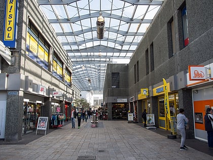
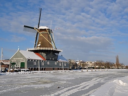
Nearby attractions include: Winkelcentrum Leidsenhage, Leidschendam, Leidschendam-Voorburg, De Salamander.
Frequently Asked Questions (FAQ)
Which popular attractions are close to Vliet?
Nearby attractions include De Salamander, The Hague (17 min walk), Leidschendam, The Hague (21 min walk), Vlinders aan de Vliet, The Hague (22 min walk), Leidschendam-Voorburg, The Hague (22 min walk).
How to get to Vliet by public transport?
The nearest stations to Vliet:
Bus
Tram
Metro
Bus
- Rozenrust • Lines: 45 (4 min walk)
- Weikamp • Lines: 45 (5 min walk)
Tram
- Dillenburgsingel • Lines: 6 (20 min walk)
- Kastelenring • Lines: 6 (21 min walk)
Metro
- Leidschendam-Voorburg • Lines: E (38 min walk)
