Jodenbreestraat, Amsterdam
Map
Gallery
Facts and practical information
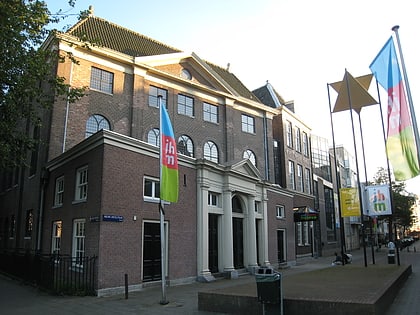
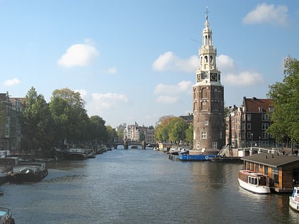
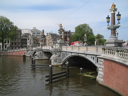
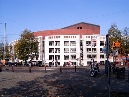
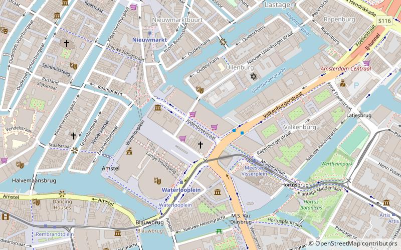
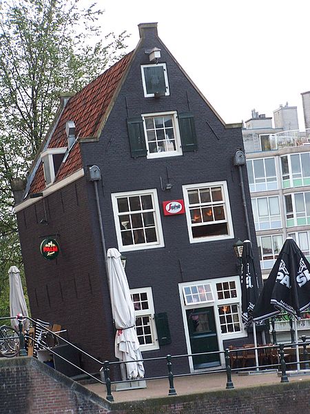
The Jodenbreestraat is a street in the centre of Amsterdam, which connects the Sint Antoniesluis sluice gates to the Mr. Visserplein traffic circle. North of the sluice gates, the street continues on to Nieuwmarkt square as the Sint Antoniesbreestraat. The Mozes en Aäronkerk church stands at the southern end of the street. Directly behind the Jodenbreestraat is Waterlooplein square with its daily flea market. ()
Address
Stadsdeel Centrum (Nieuwmarkt en Lastage)Amsterdam
ContactAdd
Social media
Add
Day trips
Jodenbreestraat – popular in the area (distance from the attraction)
Nearby attractions include: Rembrandt House, Portuguese Synagogue, Oudeschans, Raamgracht.
Frequently Asked Questions (FAQ)
Which popular attractions are close to Jodenbreestraat?
Nearby attractions include Mozes en Aäronkerk, Amsterdam (2 min walk), Houtgracht, Amsterdam (2 min walk), Jodenbuurt, Amsterdam (2 min walk), Gassan Diamonds, Amsterdam (2 min walk).
How to get to Jodenbreestraat by public transport?
The nearest stations to Jodenbreestraat:
Bus
Tram
Metro
Ferry
Train
Bus
- Waterlooplein • Lines: 246, N86, N87, N89, N91, N93 (4 min walk)
- Rembrandtplein • Lines: N85, N87, N89, N91, N93 (9 min walk)
Tram
- Meester Visserplein • Lines: 14 (4 min walk)
- Waterlooplein • Lines: 14 (4 min walk)
Metro
- Waterlooplein • Lines: 51, 53, 54 (4 min walk)
- Nieuwmarkt • Lines: 51, 53, 54 (5 min walk)
Ferry
- Centraal Station • Lines: F2 (18 min walk)
- IJplein • Lines: F2 (24 min walk)
Train
- Amsterdam Central Station (18 min walk)

 Metro / Trams


