Bevrijdingsbos, Groningen
Map

Map

Facts and practical information
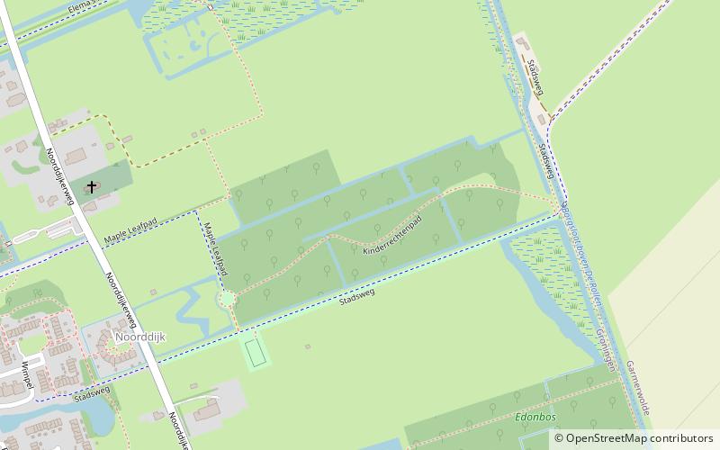
The Bevrijdingsbos is a forest on the edge of the city of Groningen between the district Lewenborg and the village of Garmerwolde in the Netherlands. ()
Address
Noorddijk (Ruischerbrug)Groningen
ContactAdd
Social media
Add
Day trips
Bevrijdingsbos – popular in the area (distance from the attraction)
Nearby attractions include: Martiniplaza, Martinitoren, Papiermolen, Martinikerk.
Frequently Asked Questions (FAQ)
How to get to Bevrijdingsbos by public transport?
The nearest stations to Bevrijdingsbos:
Bus
Bus
- Wimpel • Lines: 3 (12 min walk)
- Mooiland • Lines: 3 (14 min walk)


