aardkundig monument "het Zwerfsteneneiland", Utrecht Hill Ridge
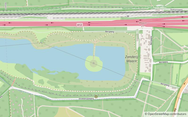
Map

Map

Facts and practical information
aardkundig monument "het Zwerfsteneneiland" is a place located in Utrecht Hill Ridge (Utrecht province) and belongs to the category of monuments and statues.
It is situated at an altitude of 20 feet, and its geographical coordinates are 52°3'49"N latitude and 5°20'49"E longitude.
Among other places and attractions worth visiting in the area are: Maarn (town, 28 min walk), Pyramid of Austerlitz, Woudenberg (theme park, 48 min walk), Het Rosarium, Doorn (amusement, 54 min walk).
Coordinates: 52°3'49"N, 5°20'49"E
Day trips
aardkundig monument "het Zwerfsteneneiland" – popular in the area (distance from the attraction)
Nearby attractions include: Huis Doorn, Pyramid of Austerlitz, Het Rosarium, Golfclub Kromme Rijn.


