Rembrandtpark, Amsterdam
Map
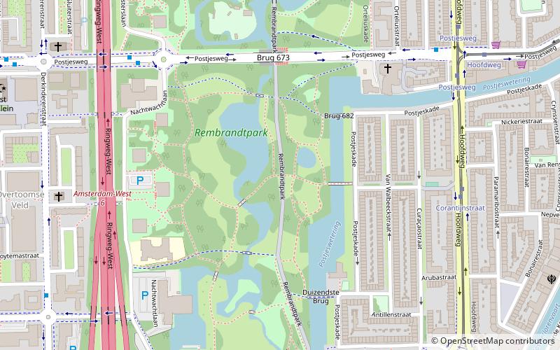
Map

Facts and practical information
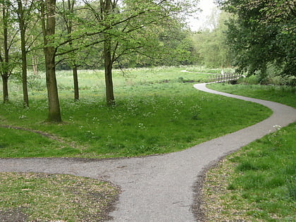
Rembrandtpark is an urban park in Nieuw-West, Amsterdam, Netherlands. The park is named after the 17th-century painter Rembrandt. The park was completed in 1973 and has a surface area of 45 hectares which includes a petting zoo and playgrounds. ()
Address
Stadsdeel Nieuw-West (Overtoomse Veld)Amsterdam
ContactAdd
Social media
Add
Day trips
Rembrandtpark – popular in the area (distance from the attraction)
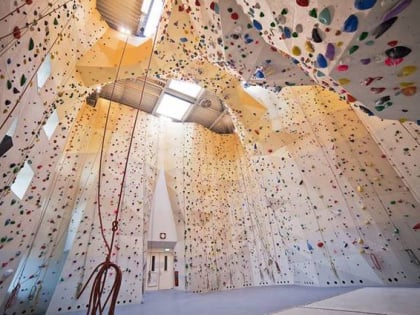
Nearby attractions include: Olympic Stadium, Hollandsche Manege, Vondelpark, Mountain Network Amsterdam.
Frequently Asked Questions (FAQ)
Which popular attractions are close to Rembrandtpark?
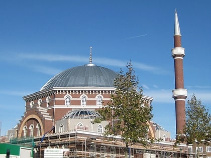
Nearby attractions include Overtoomse Veld, Amsterdam (12 min walk), Admiralenbuurt, Amsterdam (15 min walk), Teatro Munganga, Amsterdam (16 min walk), Westermoskee, Amsterdam (16 min walk).
How to get to Rembrandtpark by public transport?
The nearest stations to Rembrandtpark:
Bus
Tram
Metro
Bus
- Corantijnstraat • Lines: 15, 247 (6 min walk)
- Nachtwachtlaan • Lines: 18, N83 (7 min walk)
Tram
- Corantijnstraat • Lines: 17 (7 min walk)
- Postjesweg • Lines: 17, 7 (8 min walk)
Metro
- Postjesweg • Lines: 50, 51 (16 min walk)
- Lelylaan • Lines: 50, 51 (16 min walk)
 Metro / Trams


