De Inktpot, Utrecht
Map
Map

Facts and practical information
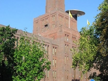
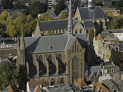
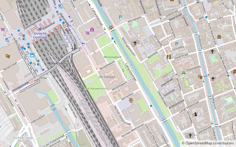
The Inkpot is the largest brick building in the Netherlands, designed by George van Heukelom on behalf of the Dutch Railways interest group. The national monument is located at Moreelsepark in Utrecht near Utrecht Central Station and it is currently used as the headquarters of ProRail.
Coordinates: 52°5'15"N, 5°6'56"E
Address
Binnenstad (Hooch Boulandt Moreelsepark)Utrecht
ContactAdd
Social media
Add
Day trips
De Inktpot – popular in the area (distance from the attraction)
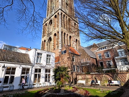
Nearby attractions include: St. Martin's Cathedral, Vredenburg Castle, Oudegracht, Domtoren.
Frequently Asked Questions (FAQ)
Which popular attractions are close to De Inktpot?
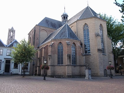
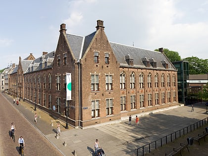
Nearby attractions include St. Gertrude's Cathedral, Utrecht (3 min walk), St. Mary's Church, Utrecht (4 min walk), Utrechts Conservatorium, Utrecht (5 min walk), Moreelsebrug, Utrecht (5 min walk).
How to get to De Inktpot by public transport?
The nearest stations to De Inktpot:
Bus
Tram
Train
Bus
- Moreelsepark • Lines: 2 (4 min walk)
- Nicolaas Beetsstraat • Lines: 2 (4 min walk)
Tram
- Centraal Station Centrumzijde B2 • Lines: 22 (6 min walk)
- Centraal Station Jaarbeursplein • Lines: 60, 61 (12 min walk)
Train
- Utrecht Centraal (8 min walk)
- Utrecht Vaartsche Rijn (17 min walk)
