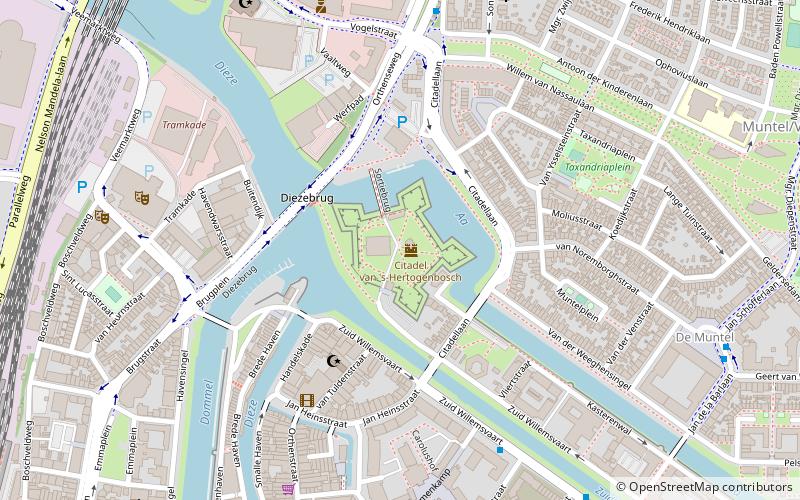
Citadel, 's-Hertogenbosch
Map

Map

Facts and practical information
The Citadel of 's-Hertogenbosch is a fortress on the north side of the town center of 's Hertogenbosch in the Netherlands. It was constructed from 1637 to 1642. ()
Address
Citadellaan 113's-Hertogenbosch
ContactAdd
Social media
Add
Day trips
Citadel – popular in the area (distance from the attraction)
Nearby attractions include: Het Noordbrabants Museum, Bastionder, Jheronimus Bosch Art Center, St. John's Cathedral.
Frequently Asked Questions (FAQ)
Which popular attractions are close to Citadel?
Nearby attractions include Dieze Bridge, 's-Hertogenbosch (3 min walk), Kruithuis, 's-Hertogenbosch (4 min walk), Verkadefabriek, 's-Hertogenbosch (7 min walk), W2 Poppodium, 's-Hertogenbosch (8 min walk).
How to get to Citadel by public transport?
The nearest stations to Citadel:
Bus
Train
Bus
- Orthenseweg • Lines: 10, 158, 165, 166, 665, 7, 90 (7 min walk)
- Zuid Willemsvaart • Lines: 2, 3, 4, 6, 8, 9 (7 min walk)
Train
- 's-Hertogenbosch (14 min walk)
- 's-Hertogenbosch Oost (20 min walk)


